The District was created by Order of the TCEQ dated April 21, 2015. The District operates under Chapter 375 of the Texas Local Government Code in addition to Chapters 49 and 54 of the Texas Water Code pursuant to Article XVI, Section 59 and Article III, Section 52 and 52-a, of the Texas Constitution. The District consists of approximately 2,046 acres.
Among other purposes, the District is authorized to purchase, construct, operate, and maintain public water, wastewater, and drainage facilities, roads, and recreational facilities.
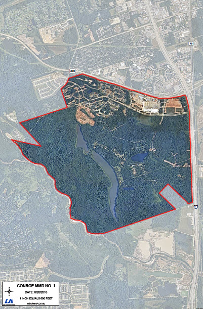
District Maps
The District is located in the Montgomery County and is situated wholly within the limits of the City of Conroe. The District is generally bounded on the west of Interstate Highway 45 (“IH-45”), south of Loop 336 and north of the West Fork of the San Jacinto River and east of Sgt. Ed Holcomb Boulevard. Primary access to the District will be from the frontage along IH-45 along Grand Central Parkway. Secondary access points will be from Loop 336 along Crescent Campus Boulevard, Urban Avenue and Town Park Drive. The District is located in the Ransom House Survey, A-245 and the Joseph House Survey, A-250.